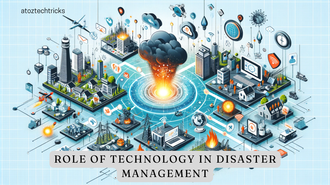
In recent years, technology has revolutionized many aspects of our lives, including disaster management. From predicting natural calamities to coordinating emergency responses, technology has become indispensable in managing disasters effectively. This comprehensive exploration delves into the various facets of how technology is used in disaster management, examining its benefits, challenges, and future trends.
1. Introduction to Disaster Management
Disaster management involves the planning, coordination, and execution of activities aimed at mitigating the impacts of natural and man-made disasters. The primary goal is to minimize harm to people, property, and the environment. Effective disaster management is categorized into four phases:
- Mitigation: Actions taken to reduce the severity of future disasters.
- Preparedness: Planning and training to ensure an effective response.
- Response: Immediate actions to address the disaster’s impacts.
- Recovery: Efforts to return to normalcy and restore affected areas.
Technology plays a crucial role across all these phases, providing tools and systems that enhance efficiency and effectiveness.
2. Early Warning Systems
2.1 Meteorological Forecasting
Meteorological forecasting is one of the most critical areas where technology aids in disaster management. Advanced weather satellites, radar systems, and weather stations provide real-time data on weather patterns. Technologies like Doppler radar and satellite imagery help in monitoring and predicting severe weather events such as hurricanes, tornadoes, and floods. This early warning allows for timely evacuations and preparations.
2.2 Earthquake Detection
Earthquake early warning systems utilize seismic sensors placed in various locations to detect the initial shockwaves of an earthquake. Systems such as the US Geological Survey’s (USGS) ShakeAlert and Japan’s Earthquake Early Warning (EEW) use this data to provide alerts seconds before the more damaging waves arrive. This precious time enables people to take protective actions and automated systems to shut down critical infrastructure.
2.3 Tsunami Detection
Tsunami early warning systems use a combination of sea-level monitoring stations, ocean buoys, and seismic sensors to detect underwater earthquakes and changes in sea level. Technologies such as the Pacific Tsunami Warning Center (PTWC) use data from these sources to provide alerts to coastal communities at risk of tsunamis, giving them crucial time to evacuate.

3. Geographic Information Systems (GIS)
3.1 Mapping and Visualization
Geographic Information Systems (GIS) are essential for disaster management, offering detailed mapping and spatial analysis capabilities. GIS technology allows for the creation of detailed maps that visualize the impact of disasters on different regions. This helps in assessing the extent of damage and planning effective response strategies.
3.2 Risk Assessment and Planning
GIS tools are used for risk assessment and planning by analyzing historical data, population density, and infrastructure vulnerability. This information aids in identifying high-risk areas and developing strategies for mitigation and preparedness. For instance, GIS can help determine the best locations for emergency shelters and evacuation routes based on predicted disaster scenarios.
3.3 Real-time Data Integration
GIS integrates real-time data from various sources, including satellite imagery, sensors, and social media. This real-time integration provides up-to-date information on disaster impacts, helping emergency responders make informed decisions and allocate resources more effectively.
4. Drones and Unmanned Aerial Vehicles (UAVs)
4.1 Damage Assessment
Drones and UAVs are increasingly used for damage assessment in the aftermath of disasters. Equipped with high-resolution cameras and sensors, drones can capture aerial images and videos of affected areas, providing valuable information for assessing the extent of damage and identifying areas that need immediate attention.
4.2 Search and Rescue Operations
Drones are also used in search and rescue operations to locate missing persons and deliver supplies to remote or inaccessible areas. Equipped with thermal imaging cameras, drones can detect heat signatures, helping rescuers find survivors in challenging conditions such as rubble or dense forests.
4.3 Infrastructure Inspection
Drones facilitate the inspection of critical infrastructure such as bridges, power lines, and dams after a disaster. They provide detailed images and data that help engineers and officials assess the structural integrity of these facilities and determine necessary repairs.
How Digital Transformation is Impacting Traditional Industries
5. Social Media and Crowdsourcing
5.1 Real-time Information Sharing
Social media platforms such as Twitter, Facebook, and Instagram play a significant role in disaster management by providing real-time information and updates. During a disaster, people share information about conditions, damages, and needs, which helps in coordinating response efforts and providing timely assistance.
5.2 Crowdsourced Data
Crowdsourcing platforms like Ushahidi and CrisisMappers leverage user-generated data to map disaster impacts and aid in response efforts. Volunteers contribute information on affected areas, damaged infrastructure, and resource needs, creating comprehensive and up-to-date maps that assist emergency responders.
5.3 Public Communication and Awareness
Social media also serves as a tool for public communication and awareness during disasters. Government agencies, humanitarian organizations, and responders use these platforms to disseminate important information, such as evacuation orders, safety tips, and recovery updates, ensuring that the public remains informed and engaged.

6. Emergency Management Software and Apps
6.1 Incident Management Systems
Emergency management software, such as the Incident Command System (ICS) and WebEOC, facilitates the coordination and management of disaster response efforts. These systems provide tools for tracking incidents, managing resources, and communicating with various stakeholders, ensuring a coordinated and efficient response.
6.2 Mobile Apps for Disaster Preparedness
Mobile apps designed for disaster preparedness and response offer features such as emergency alerts, safety tips, and interactive maps. Apps like FEMA’s Mobile App and Red Cross Emergency App provide users with valuable information and tools to prepare for and respond to disasters, enhancing individual and community resilience.
6.3 Data Analytics and Decision Support
Advanced data analytics and decision support systems use algorithms and machine learning to analyze disaster-related data and provide actionable insights. These systems assist in predicting disaster impacts, optimizing resource allocation, and evaluating response strategies, enabling more informed decision-making.
7. Artificial Intelligence (AI) and Machine Learning
7.1 Predictive Modeling
Artificial Intelligence (AI) and machine learning are transforming disaster management through predictive modelling. By analyzing historical data, weather patterns, and other relevant factors, AI algorithms can predict the likelihood of disasters and their potential impacts. This enables better planning and preparedness, as well as more accurate risk assessments.
7.2 Automated Response Systems
AI-powered automated response systems can assist in managing disaster response operations. For example, AI can automate tasks such as dispatching emergency responders, managing supply chains, and coordinating communications. These systems enhance efficiency and reduce the burden on human operators during high-stress situations.
7.3 Image and Speech Recognition
AI technologies such as image and speech recognition are used for analyzing visual and auditory data during disasters. Image recognition algorithms can identify damaged infrastructure or trapped individuals from aerial images, while speech recognition can transcribe emergency calls and communications, facilitating faster and more accurate responses.
8. Challenges and Limitations
8.1 Data Privacy and Security
The use of technology in disaster management raises concerns about data privacy and security. Collecting and sharing sensitive information, such as personal data and location details, can pose risks if not properly secured. Ensuring that data is protected and used responsibly is essential to maintaining public trust and safeguarding individuals’ rights.
8.2 Technology Accessibility and Inclusivity
Not all communities have equal access to technology, which can create disparities in disaster management. Rural areas, low-income communities, and vulnerable populations may lack access to advanced technologies, limiting their ability to benefit from early warning systems, emergency apps, and other tools. Addressing these accessibility issues is crucial for ensuring that all individuals are adequately protected.
8.3 Technology Reliability and Dependence
While technology offers many benefits, it also introduces challenges related to reliability and dependence. Technical failures, system malfunctions, or cyber-attacks can disrupt disaster management operations and compromise response efforts. It is important to have backup systems, redundancy plans, and robust security measures in place to mitigate these risks.

9. Future Trends in Technology and Disaster Management
9.1 Integration of IoT and Smart Technologies
The integration of Internet of Things (IoT) devices and smart technologies is expected to enhance disaster management capabilities. IoT sensors can monitor environmental conditions, infrastructure health, and resource usage in real-time, providing valuable data for early warning systems and response coordination.
9.2 Advanced Simulation and Training
Advancements in simulation and virtual reality (VR) technologies are being used for disaster training and preparedness. VR simulations allow responders to practice and refine their skills in realistic scenarios, improving their ability to handle real-life disasters effectively.
9.3 Blockchain for Transparency and Coordination
Blockchain technology has the potential to improve transparency and coordination in disaster management. By providing a secure and tamper-proof ledger of transactions and data, blockchain can enhance trust and accountability in the distribution of aid, resource allocation, and coordination among different agencies.
Technology plays a transformative role in disaster management, offering tools and systems that enhance preparedness, response, and recovery efforts. From early warning systems and GIS to drones, social media, and AI, technological advancements have revolutionized how we manage and respond to disasters. However, challenges related to data privacy, accessibility, and reliability must be addressed to fully realize the potential of technology in disaster management. As technology continues to evolve, it will undoubtedly play an increasingly critical role in safeguarding lives and communities against the impacts of disasters.